


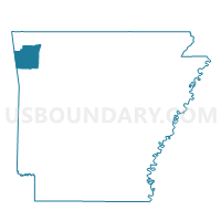
SPRINGDALE PCT 21, Washington County, Arkansas
About
Outline

Summary
| Unique Area Identifier | 528370 |
| Name | SPRINGDALE PCT 21 |
| County | Washington County |
| State | Arkansas |
| Area (square miles) | 0.44 |
| Land Area (square miles) | 0.43 |
| Water Area (square miles) | 0.01 |
| % of Land Area | 98.81 |
| % of Water Area | 1.19 |
| Latitude of the Internal Point | 36.18911810 |
| Longtitude of the Internal Point | -94.19916330 |
Maps


Graphs
Select a template below for downloading or customizing gragh for SPRINGDALE PCT 21, Washington County, Arkansas


Neighbors
Neighoring Voting District (by Name) Neighboring Voting District on the Map
- ELM SPRINGS Voting District, Washington County, AR
- SPRINGDALE PCT 11, Washington County, AR
- SPRINGDALE PCT 22, Washington County, AR
- SPRINGDALE PCT 7, Washington County, AR
Top 10 Neighboring County Subdivision (by Population) Neighboring County Subdivision on the Map
- Springdale township, Washington County, AR (66,328)
- Elm Springs township, Washington County, AR (2,126)